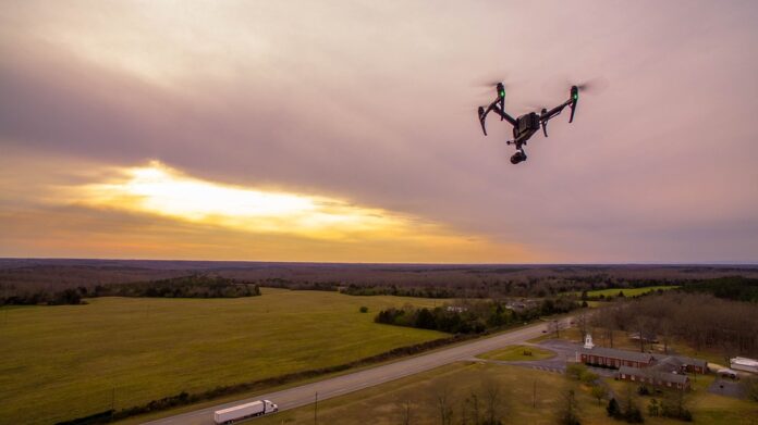
A topographic survey using drones can help you get an exact calculation of the area and a detailed terrain survey. Drone-based surveying makes it easy for you to get 3D imaging data, which is useful in creating models like the architectural model, digital terrain models (DEMs), slope alteration maps, and contour maps. A topographic survey using drones can help you to find obstacles and measure a site prior to a construction project.
Compared to traditional techniques such as laser-based methods and GPS devices, drones have emerged as the most reliable tools for topographic surveys. As a result, drones have revolutionized the conventional surveying process by providing accurate data, reducing human errors, and cost savings involved in labor and time (by almost 80%). A topographic survey using drones can also be helpful for you if you want to make an inventory of your property, understand contours or boundaries accurately.
Topographic surveys are very important as they help engineers create maps depicting the elevation of an area, which is later used by architects and planners during construction projects (especially building roads).


